


Foundation Repair
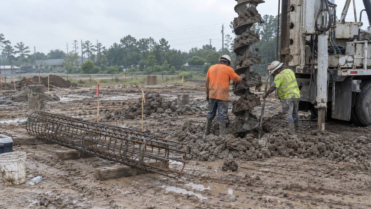
The sandy top layer hides a subsoil with up to 45% clay, so Katy slabs still crack and drop. We pier and relevel homes that have moved.
Learn MoreBuilding Across Greater Houston Since 2002
Concrete, steel and site work across Katy, where the county line under your lot sets your permit desk, your slab height and your flood risk.
Katy, Texas
Katy is one town spread across three counties. The City of Katy sits where Harris, Fort Bend and Waller meet, and many "Katy" addresses are not inside the city at all. So the first question on any job is which desk your lot answers to. Inside city limits, that is the City of Katy at 901 Avenue C, and unlike Houston, Katy has real zoning. Outside the line, it is Harris County, Fort Bend Engineering in Richmond, or Waller County. We check the address before we bid, because the rules change with it.
People call it Katy sand, and the top layer really is sandy loam. The USDA even has a Katy soil series, and sand is only half the story. Deeper down, the subsoil runs 25 to 45 percent clay, and a perched water table can show up in cool or wet months. Geologic maps put Greater Katy on the Lissie Formation, a mix of sand, silt and clay. So we read the geotech report before we pick a foundation, and we never assume sand all the way down.
Then there is the water. Canyon Gate and other lots behind Barker Reservoir flooded in 2017, when the reservoirs filled for the first time in their history. The City of Katy now sets finished floors a foot above the base flood elevation or at the 500-year line, whichever is higher. Harris and Fort Bend counties both run Atlas 14 slab and detention rules, with one-to-one fill mitigation in the 500-year floodplain. Katy is also sinking faster than anywhere else in the region, so we survey current grades instead of trusting an old plat.
Service Area
Our yard is in north Houston, not in Katy. The crews and trucks leave from 547 Connorvale Ln and reach Katy in about 50 minutes off-peak on I-10 West.
Services In This Area
Every service below is available across Greater Katy, in the city and out in the unincorporated county.
Each links to its full service page.
The sandy top layer hides a subsoil with up to 45% clay, so Katy slabs still crack and drop. We pier and relevel homes that have moved.
Learn More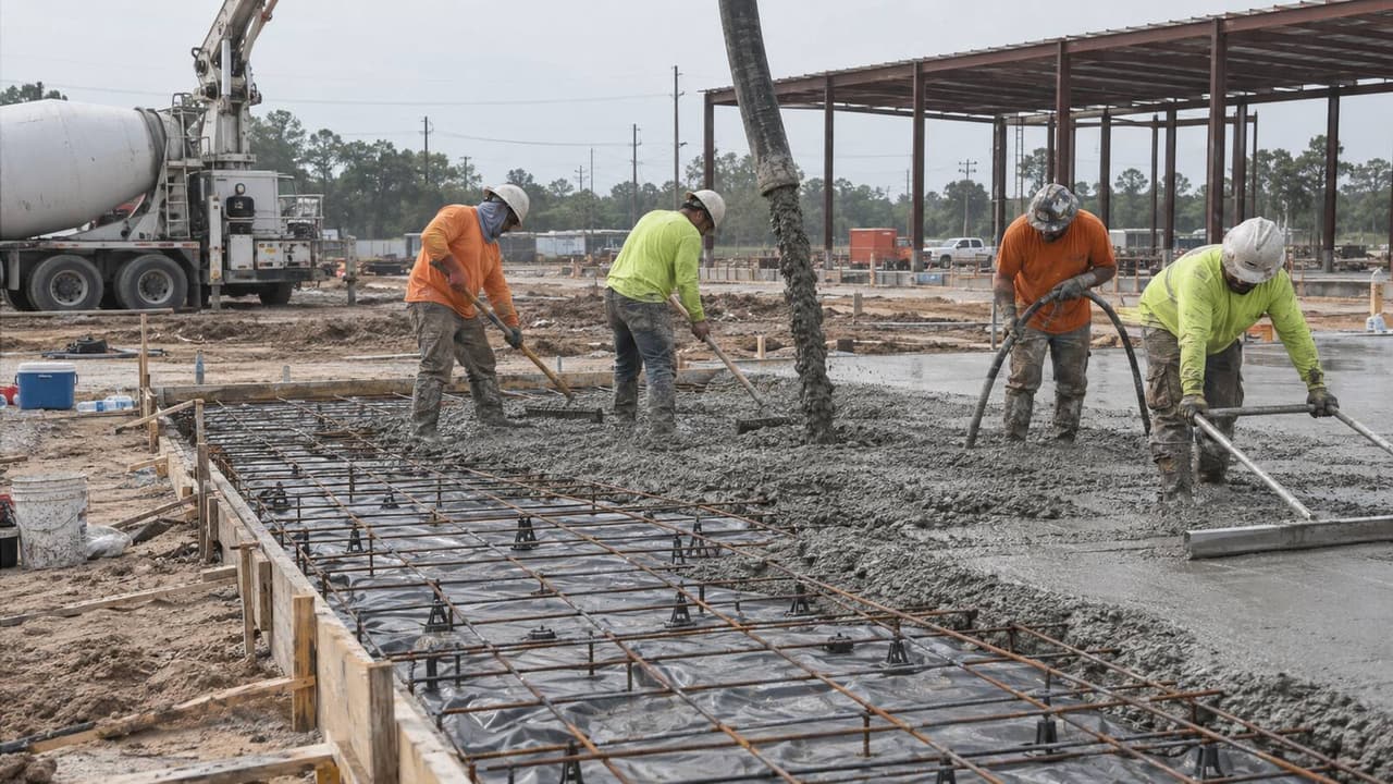
New slabs have to hit a code-set height here, set by the City of Katy or the county Atlas 14 rule. We pour post-tension slabs to match.
Learn More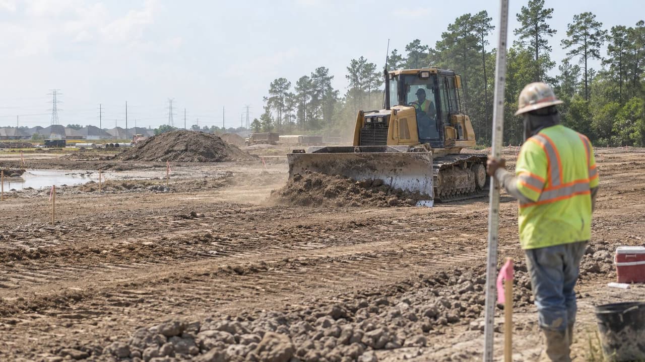
Raising a pad to the required elevation means placing fill, and Harris and Fort Bend want it offset one-to-one in the floodplain.
Learn More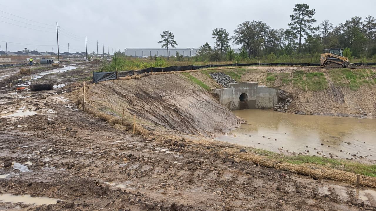
Fort Bend usually wants detention sized to Atlas 14. On the Waller side, drainage permits run through the Brookshire Katy Drainage District.
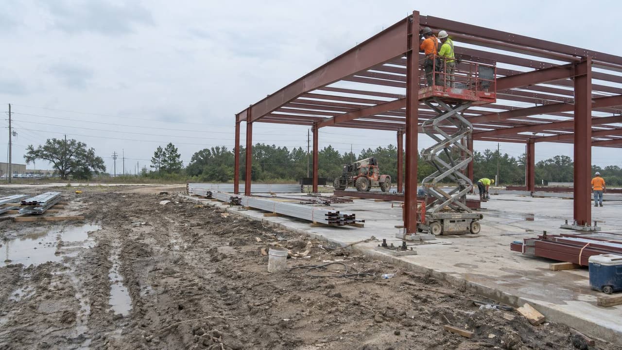
Learn MoreThe I-10 and Igloo Road corridor is filling with warehouses. We build metal shells, dock aprons and truck-court paving on raised pads.
Learn MoreOn The Ground
If your lot is near any of these, you are inside our same-week radius.
Subdivisions & Neighborhoods
Zip Codes
Local Conditions
The three things that change a Katy bid before we have drawn a single line.
Which desk depends on your address, and Katy has zoning.
Katy sand on top, real clay underneath.
Slab heights and detention set by county and city.
Good Questions
Real answers to what Katy owners actually ask before they build.
Talk to a BuilderMany Katy addresses are unincorporated, so check first. Inside city limits the City of Katy permits and inspects at 901 Avenue C, and the city has zoning. Unincorporated lots go to Harris County, Fort Bend Engineering in Richmond, or Waller County, depending on the county line. The city has an online map that tells you which side you are on.
In the City of Katy, the finished floor has to be a foot above the base flood elevation or at the 500-year level, whichever is higher, and since 2026 that includes the AC unit. Harris County wants at least the 500-year level in the shaded floodplain, or 24 inches above it in A zones. Fort Bend sets a minimum slab elevation under its Atlas 14 rules. We build the slab to whichever rule your lot falls under.
In Fort Bend, detention is usually required and has to be sized for Atlas 14 rainfall, though your MUD may already provide it. Harris and Fort Bend both want fill in the 500-year floodplain offset one-to-one. On the Waller side, drainage permits go through the Brookshire Katy Drainage District, not the county. We check which applies before we design the pond.
The surface really is sandy loam, but the Katy soil series runs 25 to 45 percent clay deeper in the subsoil, with a perched water table in cool or wet months. Geologic maps put the area on the Lissie Formation, a mix of sand, silt and clay. So we get a geotech report before choosing piers, a post-tension slab, or both. We do not guess from the topsoil.
Those reservoirs hold no permanent pool, but they fill in big storms. Canyon Gate and other upstream lots flooded in 2017 when Addicks and Barker filled for the first time in their history. We check the lot's elevation certificate and floodplain status before we design the slab or the pad, so the finished floor clears the risk.
Parts of the area have dropped more than a foot in about two decades, the fastest rate in the region, from heavy groundwater pumping. It does not crack slabs on its own, but it shifts drainage grades, outfall elevations and old survey benchmarks. So we survey the current grade instead of trusting an old plat.
Built On Integrity. Focused On You
Free estimates, straight timelines, and a crew that treats your job like their own.



 Old Katy & Historic Downtown


 City of Katy permits and zoning at 901 Avenue C, unlike Houston


 OR CALL (832) 576-3278